
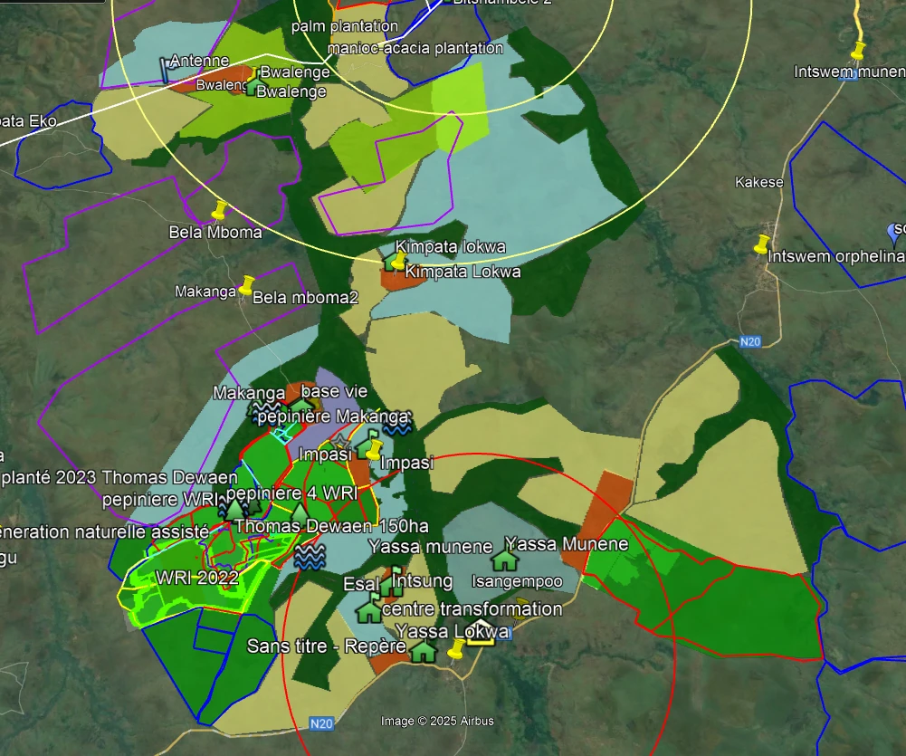
PSAT, Training, Mentoring, and Community Assembly
Spread across the region’s reforestation sites. Each village has its own Simple Land Use Plan (PSAT), developed in collaboration with the community assembly and its Local Development Committee (CLD). The count increases with each new village included in the program.
— The Project
Before taking any action on the ground, Faja Lobi organizes a community meeting in each affected village. A Local Development Committee (CLD) is formed to represent residents in decisions affecting their own territory.
Together, they develop a PSAT: a detailed map that outlines where to plant, where to farm, where to build, and where to preserve. This mapping work always precedes any intervention, to ensure that development takes place with the communities rather than for them.
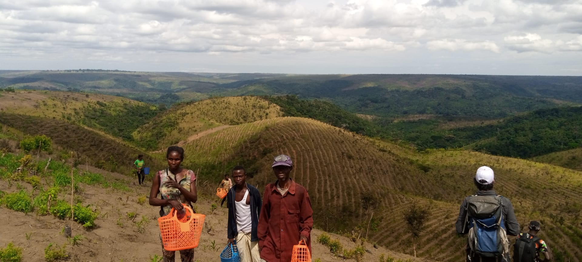
The PSATs also address erosion control (soil stabilization) and the siting of community health centers, two areas directly related to land-use planning.
You can help
Mapping work requires field equipment (GPS, drones) and time spent working with the community. Every contribution helps speed up coverage of the remaining villages.
— Things to Discover
.jpg)